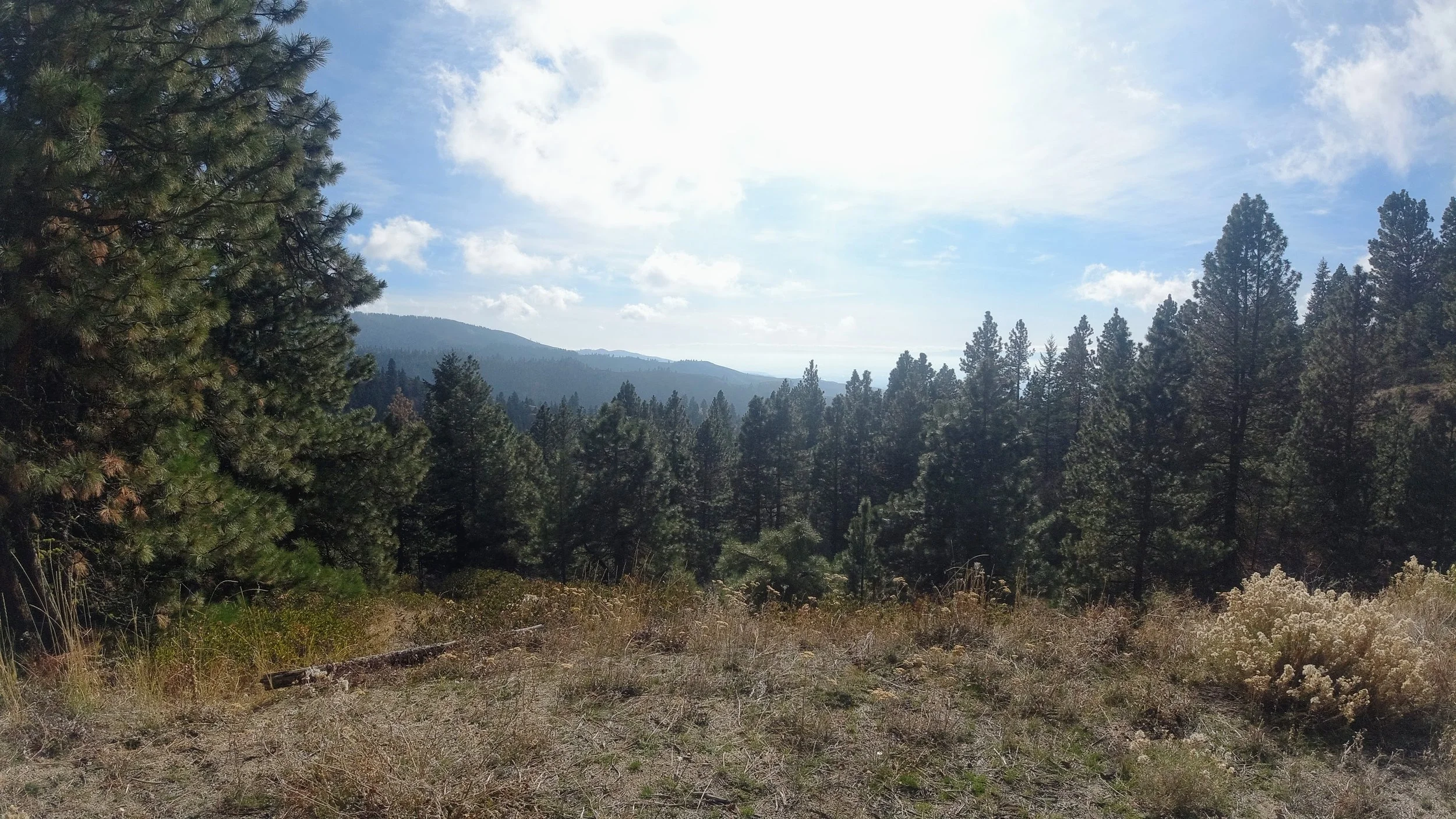
Upper Dry Creek Trail
Upper Dry Creek trail is just a little before the Freddy’s Stack Rock roadside parking. This tail has very few parking spaces. One or two vehicles can park on the dirt “road” that leads to the trailhead. Any more than that and it becomes difficult to navigate out. There is room for maybe 4 vehicles on the opposite side of N. Bogus Basin Rd. Please be careful and watch for oncoming traffic in both directions. There are curves immediately in both directions, and it is difficult to see oncoming cars.
Challenges:
There is a fork in this trail early on that, if taken incorrectly, will take you on a very different hike. Best to have a map, GPS map of the specific trail, or a guide who’s done this hike before.
It is mostly a loop trail. This will keep the views interesting, but you will not be back tracing most of your hike.
There is shade through most of this hike. At certain times of the year, this can mean a significant temperature drop from comfortable to cold. Dress accordingly.
Equipment:
Water
Snack
Sunscreen (optional)
Hat (optional)
Good, broken in, hiking boots or shoes
Weather-appropriate clothing
Along N. Bogus Basin Rd. is a right turn onto a paved road that leads to the nearby trailhead (43.732642, -116.124156). The trailhead is a gated roadway that you step though to begin the hike. We completed the full hike, so the stats above are accurate for this entire hike. You can get the trail details on AllTrails for this hike.
This trail is popular for both hikers, mountain bikers, and horses. So, if you are hiking this during the busy season (Summer), be sure to remain aware of your surroundings. Some of this trail is single track and will require you and others to step off the trail to allow others to pass. Remember trail etiquette, and be nice to those sharing the trail with you. For more on trail etiquette, visit the Ridges to Rivers website.
This hike is actually using 3 trails. The hike starts on the Ponderosa Pine Overlook Trail. This is the trail with the fork in it that will determine your success at hiking this trail or a very different one. The fork is about 0.5 miles (0.8 km) into the hike. Take the left/upper trail and you will be on the right track. Taking the trail on the right/lower takes you to the Dry Creek trail. The only way back on this trail is by hiking back the way you came.
Staying on the Ponderosa Pine Overlook Trail will lead you to another fork (0.8 miles (1.29 km)). Here, you can choose the Snowshoe Hare Loop (left) or continue to follow the trail you are on (right). Either choice is fine in this case. We went left to follow Snowshoe Hare Loop.
Following Snowshoe Hare Loop for another 0.8 miles (1.29 km), or a total of 1.6 miles (2.57 km) into the hike, you’ll come to another fork. This time, you will want to take the left trail. This becomes Doug Fir Loop. If you want to make it a shorter hike at this point, you can take the right trail and continue to follow Snowshoe Hare Loop. This will shorten the hike by almost 2 miles (3.22 km).
If you do take the shorter Snowshoe Hare Loop trail, be sure to take a moment when it meets back up with the Ponderosa Pine Overlook and Doug Fir Loop trails. To your left is a small overlook at a natural high point with some neat, small rock formations. You’ll probably need to backtrack up Doug Fir Loop trail a little to actually get to the spot, but it is worth it.
If you continue from Snowshoe Hare Loop, take the left trail for the full hike, and are now on Doug Fir Loop, there is one more fork to deal with. You should just stay on Doug Fir Loop (right/straight). This trail will lead you directly to the overlook mentioned in the previous paragraph. This is the Ponderosa Pine Overlook. Enjoy the view before heading back along Ponderosa Pine Overlook trail back to the trailhead.
Remember to watch for traffic whether you’re leaving the trailhead in your car, or crossing traffic on foot to get back to your car parked on the N. Bogus Basin Rd. shoulder.
I hope you enjoy our adventure and get the chance to enjoy this hike yourselves.


