
North Fork - Payette River


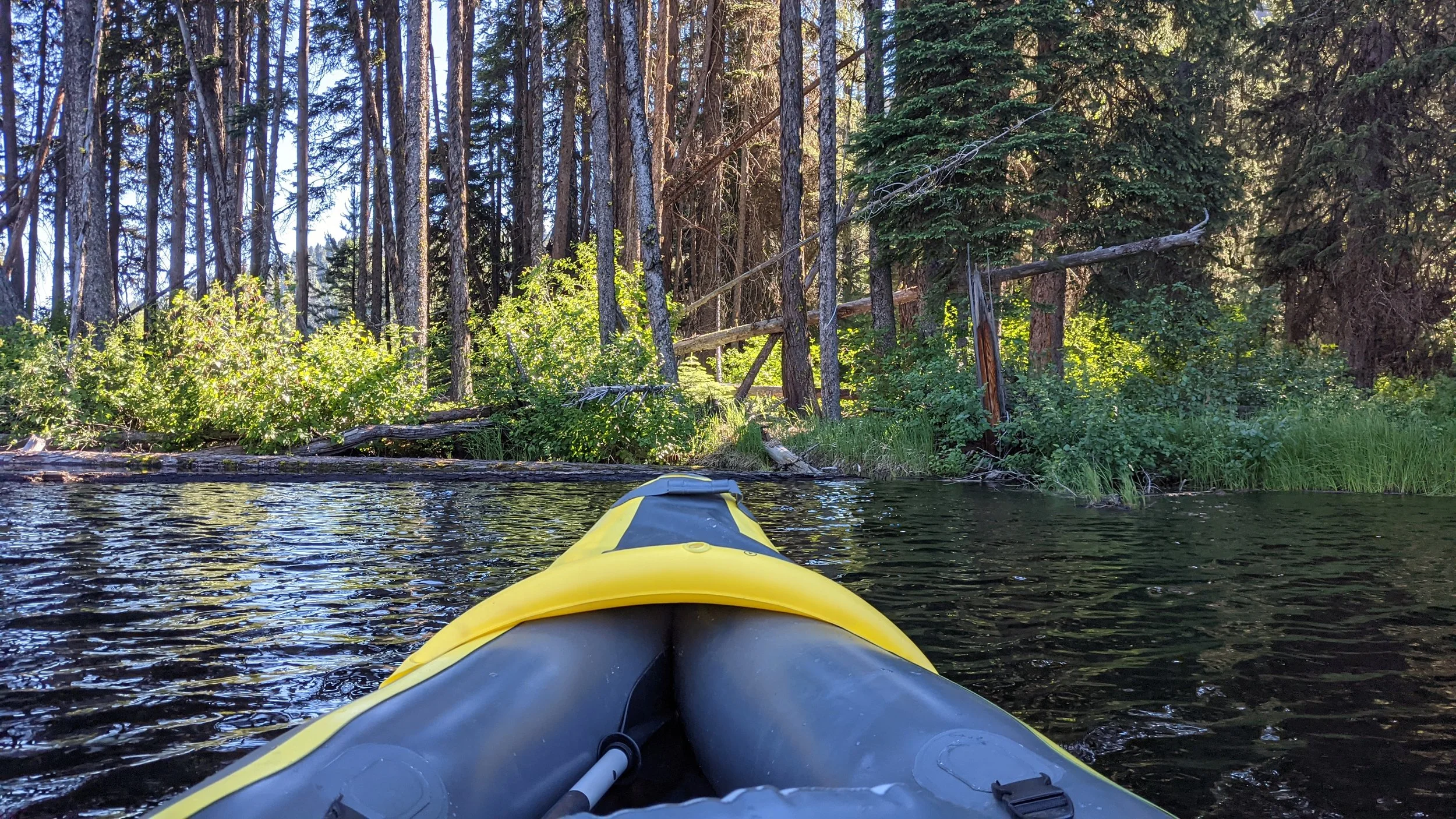


The North Fork of the Payette River extends north from Payette Lake’s North Shore toward Upper Payette Lake. It is several miles of calm, meandering river.
Access
Non-motorized boats or paddle boards only on the river.
You can access the river from the North Shore beach area. The North Shore is usually very busy. There is parking, but it is often difficult to find an open space during the summer months. If you do find one, there is still a small hike to the beach, about 1/2 mile. The mosquitos in the parking lot and along the path to the beach are terrible.
You can also access from the west side of Payette Lake at the river’s mouth. Here you will find about a dozen parking spaces, a boat put-in area, a small space of beach and a picnic area. There is an access fee for this parking area of $7, so bring the small bills.
If you need to rent a boat or paddle board, you can do so at Gravity Sports in downtown McCall or right at the river entrance on the west side at the yurt for Backwoods Adventures Canoe & Kayak Rental. Be sure to call in advance to see if you can reserve for the day and time you’d like to head up the river, since this is usually a pretty busy area and stock is limited.

Challenges
The Wind. In the morning, you’ll experience the least amount of wind, which makes traveling up and down river easier. As the day progresses, the wind gets stronger and stronger. Paddling into a headwind can be difficult and slow-going.
Water Temperature. This lake and the river that feeds into it is cold, very cold. Don’t expect to just jump in without knowing what you’re getting into. I’ve seen several people do so and lose their breath from the shock of it.
Crowds. If you arrive in the early morning/sunrise, you’ll find the best chance of finding parking at either the North Shore or the West Bank. You’ll also see the least number of people on the river. As the day goes on the numbers will increase quickly then slow down in the afternoon as most people move on to other things. The late afternoon is an option for fewer crowds, but it does come with increased wind on most days.
This section of river is fun, easy, and full of beauty. In the morning, the weather is almost always cool and the wind almost nonexistent. This makes for a very pleasant journey as you paddle your way upstream.
In the afternoon, there is lots of shade and a cool breeze coming off the mountains and blowing across the water. While the wind can make paddling more difficult into the headwind, heading the other way you can sit and enjoy the scenery as the wind gently pushing you along.
Around noon, there isn’t much wind and very little shade. Probably the worst time, but still totally workable on this gentle river.
The first half mile will bring you to a fork in the river. The right fork is a slightly longer route with a few bends in the river. The left fork is a shorter route that will take you to a small beach area where you can take a break if you like. This is where we stopped on this trip. The two forks meet up again about 100 feet (30.48 m) beyond the beach area.
From there, you follow the river as it horseshoes around once, then again. On the northern tip of the first horseshoe bend is another spot you can put in your SUP, canoe, or kayak. There is a small beach area and makes for a great place to take a break and maybe have a snack or picnic meal. On the second wrap as you start to once again head north there is an offshoot to the right. This is a dead end, but it is fun to explore if you have the time and inclination to do so.
Continue to follow the river north, and you’ll come to another beach on the west bank of the river. This is the beach for the Northwest Campground. You can stop here but depending on the season it may be crowded.
Further up the river, you’ll reach the bridge. If you’ve reached this point, you’re really doing great. Continuing on, the river will bend west, then a bit further on it will bend back towards the east. Depending on water levels, you might see a section of river to your left. It’s another dead end, but can be fun to explore.
At this point, the river is going to start getting pretty shallow. It might be a great time to turn around and head back. If you can continue, you have about half a mile before the river becomes too shallow to traverse.
Overall, this river is one we try to visit each time we are in McCall during the warmer months. Sometimes it doesn’t work out, but if you have a morning or more, it is well worth your time.